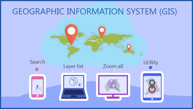
Geographical information system (GIS) is a framework with the unique capability of displaying the information in form maps and 3D scenes. In the digital world, GIS carries lots of importance in visualizing the problem and its solution. This blog further explains about creating the geo-location capabilities.


Our Partners